12-Day Annapurna Circuit Trek
The 12-day Annapurna Circuit Trek covers roughly 160 to 230 kilometers of dramatic terrain, starting with a scenic drive from Kathmandu to the trailhead and concluding with a return from the mountains via Jomsom or Pokhara.
About This Tour
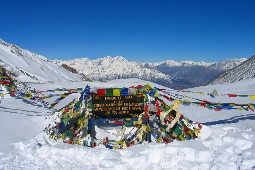
Continuing higher past Yak Kharka and Thorong Phedi, the trail enters a stark, high-altitude world resembling the Tibetan Plateau. The climax of the trek comes with an early morning push over the windswept Thorong La Pass at 5,416 meters, offering breathtaking panoramic vistas of the surrounding snow-capped giants. From the pass, you descend into the sacred pilgrimage valley of Muktinath-famous for its 108 water spouts and eternal flame - before heading down through the Kali Gandaki gorge region toward Jomsom and returning via Pokhara. The route requires official permits including the Annapurna Conservation Area Permit (ACAP) and a TIMS card, with the best weather windows falling in the spring (March-May) and autumn (September-November).
Tour Highlights
The experiences you'll remember long after the journey.
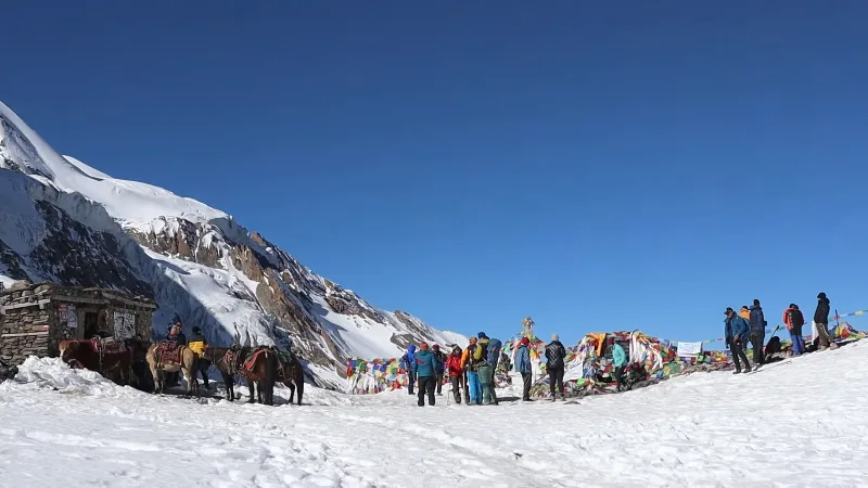
The Thorong La Pass at 5416m offers world-class panoramic Himalayan views
Trekkers experience a spectacular landscape shift from lush rainforests
Staying in traditional mountain teahouses provides an immersive cultural look
The journey visits the sacred Muktinath Temple
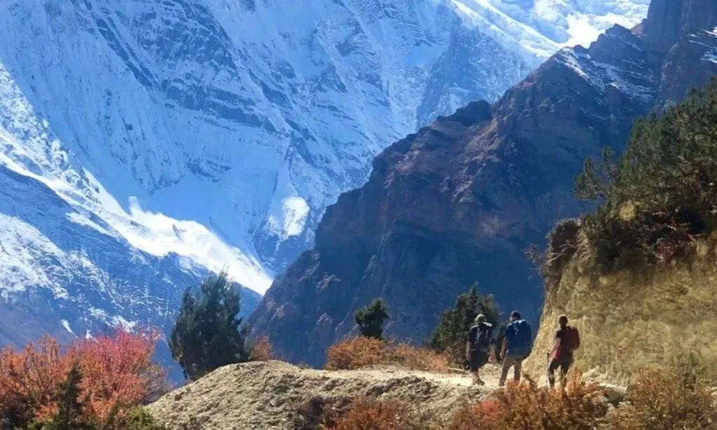
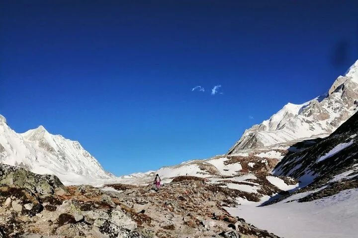
Walk beneath towering giants like Annapurna I and Dhaulagiri
Walk beneath towering giants like Annapurna I and Dhaulagiri
Your Journey
Explore the complete day-by-day itinerary.
Altitude: 1,860 meters / 6,102 feet
The Experience: You leave the bustling capital of Kathmandu early in the morning. The drive follows the scenic Trishuli and Marsyangdi rivers, winding past terraced fields and rural towns to Besisahar. From there, you switch to a rugged four-wheel-drive trail, bumping through steep canyons and waterfalls to reach the Tibetan-influenced village of Dharapani.
Altitude: 2,670 meters / 8,759 feet
The Experience: The trail enters deep pine and fir forests as you follow the roaring Marsyangdi River upstream. You will pass through traditional villages like Bagarchhap and Timang, where the first dramatic views of Lamjung Himal and Annapurna II begin to pierce the skyline. The day ends in Chame, the administrative headquarters of the Manang district, famous for its soothing riverside hot springs.
Altitude: 3,300 meters / 10,826 feet
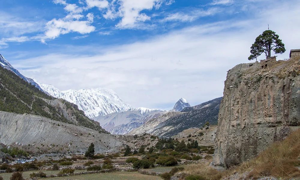
The Experience: You will walk through a narrow, dramatic river valley before encountering the iconic Paungda Danda—a massive, curved rock wall that rises over 1,500 meters seamlessly from the riverbed. The trail continues to climb steadily into Upper Pisang. Staying here offers spectacular, sweeping views of Annapurna II and Upper Manang valley.
Altitude: 3,540 meters / 11,614 feet
The Experience: Taking the high route through the traditional village of Ngawal is highly recommended for better acclimatization. The trail offers breathtaking, unobstructed panoramas of the Annapurna range. You then descend back toward the valley floor, passing ancient monasteries and Mani walls before arriving in the sprawling mountain hub of Manang.
Altitude: 3,540 meters / 11,614 feet
The Experience: This is a mandatory rest day to help your body adapt to the thinning air. To follow the "climb high, sleep low" rule, you can take a steep side hike up to the Gangapurna Ice Lake or visit the viewpoint above the town. The afternoon can be spent exploring the old stone alleyways of Manang or attending a high-altitude safety lecture conducted by the Himalayan Rescue Association.
Altitude: 4,050 meters / 13,287 feet
The Experience: Leaving the tree line behind, the trail transitions into alpine scrub and dry pastures where blue sheep and yaks graze. The pace slows down significantly to prevent altitude sickness. It is a shorter, steady uphill walk that crosses several small wooden bridges before reaching the small settlement of Yak Kharka by lunchtime.
Altitude: 4,450 meters / 14,599 feet
The Experience: You will trek along the base of towering cliffs, crossing a notorious landslide-prone zone before reaching Thorong Phedi. For very strong hikers, an additional one-hour climb to High Camp (4,925m) is an option, but staying at Phedi ensures a better night's sleep before the long pass day. You will have an early dinner and go to bed early.
Altitude: 5,416 meters / 17,764 feet (Pass) to 3,760 meters / 12,335 feet (Muktinath)
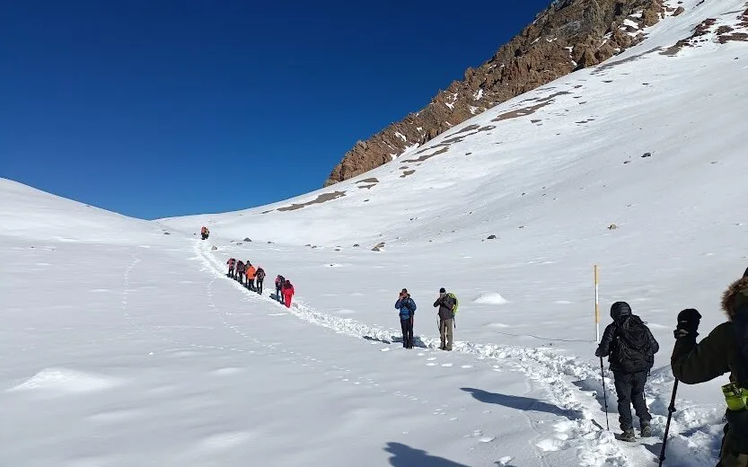
The Experience: The toughest and most rewarding day starts with a wake-up call around 4:00 AM. Using headlamps, you switchback up steep, icy slopes to reach the prayer-flag-strewn crest of Thorong La Pass. After celebrating the world-class views of the Dhaulagiri and Annapurna massifs, you begin a long, knee-crushing 1,600-meter descent down to the sacred temples of Muktinath.
Altitude: 2,720 meters / 8,923 feet
The Experience: You drop down into the arid, windswept landscape of the Mustang region, stopping at the ancient fortress town of Kagbeni, which sits at the gateway to Upper Mustang. From here, you walk along the flat, rocky riverbed of the Kali Gandaki Valley. Be prepared for strong afternoon headwinds as you push toward the bustling airstrip town of Jomsom.
Altitude: 1,200 meters / 3,937 feet
The Experience: To bypass the heavily dusty and motorized sections of the lower trail, you take a thrilling local jeep ride down the deepest gorge in the world. The road drops rapidly through changing ecosystems, taking you from high-altitude desert back into lush subtropical forests. You finish the day soaking your sore muscles in the natural hot springs of Tatopani.
Altitude: 822 meters / 2,696 feet
The Experience: You leave the rugged mountain valleys behind on a private jeep or bus journey heading toward the lowland hills. The drive connects back to the main highway, bringing you straight into the beautiful lakeside city of Pokhara.
Altitude: 822 meters / 2,696 feet
The Experience: You leave the rugged mountain valleys behind on a private jeep or bus journey heading toward the lowland hills. The drive connects back to the main highway, bringing you straight into the beautiful lakeside city of Pokhara.
Altitude Profile
See how your elevation changes throughout the journey.
What's Included
Included
Included in your tour
- Hotel pickup and drop off.
- Trekking Permit and TIMS.
- Round Trip transfer by sharing bus.
- Accommodation in guest house.
- English speaking experienced trekking guide.
- First aid box with guide.
- Private trek.
Not Included
Additional expenses
- Personal expenses and all meals
- Rescue cost in case of an emergency.
- Gratitude (Optional)
Before You Travel
A few useful details to help you prepare for your journey.
Starting Times
Choose your preferred departure
Passenger Information
Age and participation requirements
What to Bring
Required items for this tour
- Valid Passport (minimum 6 months validity)
- Annapurna Conservation Area Permit (ACAP)
- Trekkers' Information Management Systems (TIMS) Card
- Passport-sized Photos
- Travel Insurance Cover Policy (including high-altitude helicopter evacuation)
- Sturdy Waterproof Trekking Boots
- Four-season Sleeping Bag (rated down to -15°C)
- Down Jacket (windproof and waterproof)
- Thermal Base Layers (top and bottom)
- Waterproof Jacket and Trousers
- Polarized Sunglasses (with UV protection)
- Water Purification Tablets or Filter Bottle
- High-quality Headlamp (with extra batteries)
- Personal First Aid Kit (with altitude sickness medication/Diamox)
- Cash in Nepalese Rupees (for teahouses and trail expenses)
Not Suitable For
Please review before booking
- Pregnant women
- Individuals with severe cardiovascular conditions
- People with chronic respiratory illnesses (like severe asthma)
- Individuals with advanced joint or mobility issues
- Young children unable to hike long distances
- Anyone with pre-existing acute mountain sickness susceptibility
- Unprepared trekkers without basic physical fitness
Cancellation Policy
Free cancellation up to 3 days before the tour start time.
Choose Your Travel Date
Select your preferred date and departure time.
Check Your Price
Select your travel date and passenger details to see the current tour price.
Frequently Asked Questions
Guest Reviews
Be among the first to share this experience
We don't have published guest reviews for this tour yet. If you have questions before booking, our team will be happy to help.
Have questions before you book?
Our team can help you understand the itinerary, departure options, inclusions and preparation for this journey.
Read FAQs